

UPDATE, Jan. 23, 8:30 a.m.: The National Weather Service has issued a winter storm warning for central Ohio and most of the state and region. The forecast now says Licking County could see 8 to 12 inches of snow this weekend, with heavy snow beginning late Saturday and continuing throughout the day on Sunday.
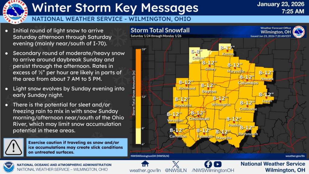
The storm warning is in effect from 10 a.m. Saturday to noon Monday, and the weather service warns that “travel could be very difficult to impossible. The hazardous conditions could impact the Monday morning commute.”
And bitter cold temperatures are expected throughout the coming week, with sub-zero wind chills during some of those days, according to a winter storm watch issued Thursday by the National Weather Service.
“The cold wind chills as low as 10 below zero could result in hypothermia if precautions are not taken,” the weather service said. “Dress in layers including a hat, face mask, and gloves if you must go outside.”
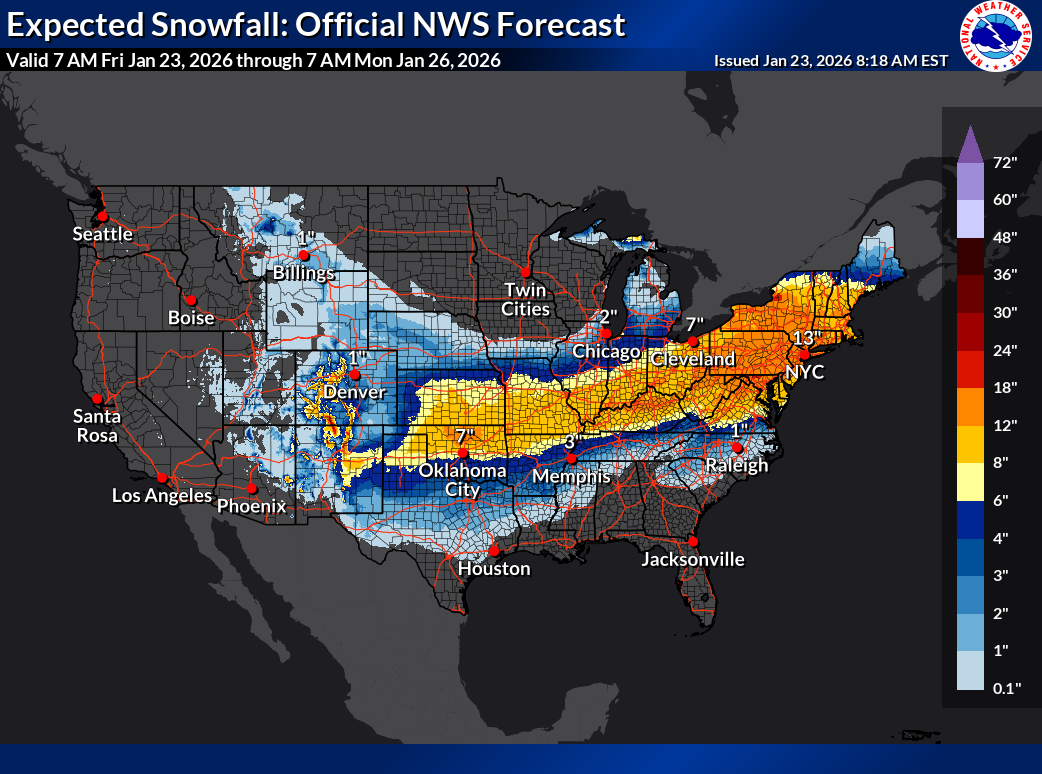
The storm headed into central Ohio is part of a massive storm system that stretches from New Mexico to New England. Here’s what the weather service said in explaining how the storm is forming:
“Multiple clipper systems will bring cold temperatures and enhance lake-effect snow downwind of the Great Lakes,” the weather service reported. “An arctic blast will bring frigid temperatures accompanied with gusty winds that may lead to dangerous wind chills beginning in the Northern Plains Thursday before expanding to the South and East. An expansive winter storm will start Friday in the Southern Rockies/Plains and Mid-South.
Here’s the forecast through Thursday:
Friday: Partly sunny with a high near 17. Wind chill values as low as -3. Northwest wind 8 to 11 mph, with gusts as high as 21 mph.
Friday night: Partly cloudy with a low around 1. Wind chill values as low as -6. North wind 3 to 7 mph.
Saturday: A chance of snow after 1 p.m. Mostly cloudy, with a high near 13. Wind chill values as low as -6. Calm wind becoming east 5 to 7 mph in the morning. Chance of precipitation is 30%. Little or no snow accumulation expected.
Saturday Night: Snow. Low around 10. Wind chill values as low as zero. Northeast wind around 7 mph. Chance of precipitation is 100%. New snow accumulation of 2 to 4 inches possible.
Sunday: Snow, which could be heavy at times. High near 25. Northeast wind around 8 mph. Chance of precipitation is 100%. New snow accumulation of 5 to 9 inches possible.
Sunday Night: Snow likely, mainly before 1 a.m. Cloudy, with a low around 9. Chance of precipitation is 70%. New snow accumulation of 1 to 3 inches possible.
Monday: Mostly cloudy, with a high near 16.
Monday Night: Partly cloudy, with a low around -2.
Tuesday: Partly sunny, with a high near 18.
Tuesday Night: Mostly cloudy, with a low around 4.
Wednesday: Partly sunny, with a high near 19.
Wednesday Night: Mostly cloudy, with a low around 1.
Thursday: Partly sunny, with a high near 14.